Looking at the updates from Hurricane Sandy in New York City, the photographs appear surreal. Sea Level rise happened in real time and its aftermath to urban life is not yet clear. This type of flooding seems out of place amongst the Manhattan skyline. The New York Times has infographics, maps, and images, to depict infrastructure failure and water inundation. Some of its imagery mimics that of a proposal on this blog from ARO in 2008.

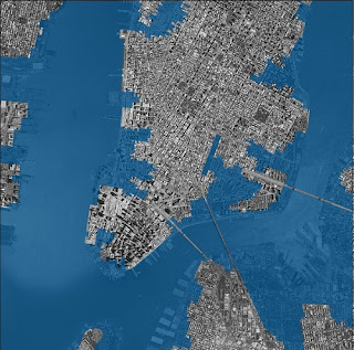


NYTimes Map 10/30/12


NYTimes Photo 10/30/12

ARO Rendering 2008
No comments:
Post a Comment